


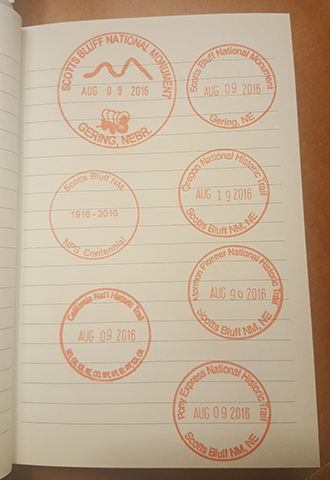
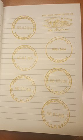
Scotts Bluff National Monument & Fort Laramie National Historic Site
North Platte to Craig
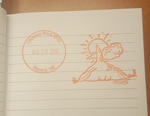
August 9, 2016
Miles Driven: 653
Parks Visited: 2
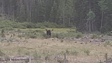
I saw a moose!
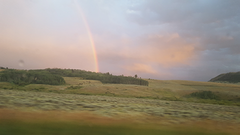
In the middle of a clearing. He was just standing there. No mistake about it. I think I saw two moose in Yellowstone, but I’m really not sure. And there were literally a hundred people passing here and there in the big park. But today, I saw one. And I was the only person around for miles. Did I mention it was dusk and there was a bright rainbow? No, I’m not making this up. If I hadn’t have gotten lost, I never would have seen this site.
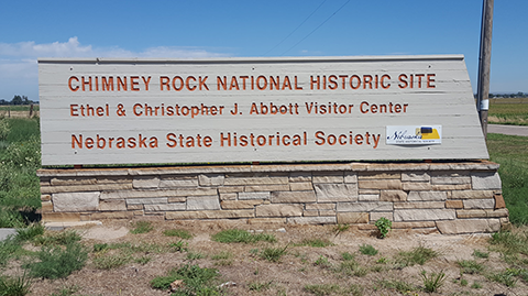
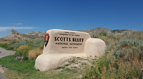
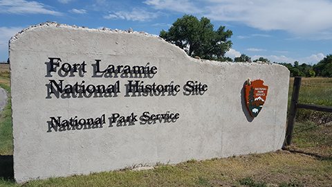
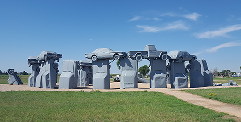
Ok, so I wasn’t really and truly lost; I had just (once again) gotten slightly turned about. My friend Matt asked me today, how hard is it to go west. I’m telling you, it’s harder than you think to drive across some sections of the U.S. without a map. I had written instructions out in case I lost cell service. I pulled up the map on my cell phone so it would be buffered. For the first part of my day, it was grand. I got right to Carhenge. You could literally see Chimney Rock. Scotts Bluff was easy, if you just followed the line of bluffs west. And Fort Laramie had a pile of signs pointing your way. That’s when things went a bit haywire on directions. My phone did not match the directions I’d written. I couldn’t find the local highway I needed. The signs sometimes either are absent or don’t make sense. So, I just headed for Cheyenne, figuring the interstate had to be the fastest, right?
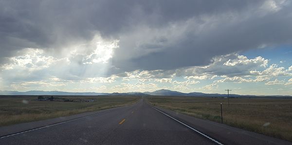
Needless to say, when I finally got cell coverage in Cheyenne, I noted that I had gone a bit out of my way. Oh, and I still had 4 hours to go at 6pm. I took a chance on believing in the newly loaded google map route, which did not use the highway. After driving for 80 miles in Wyoming on a major interstate and never seeing a single gas station or town, I didn’t see what the difference could be between big highway and (hopefully) scenic road. I made the right decision. I didn’t see a soul for miles and miles of driving through bits of the Rockies. Not a soul, except for the moose.
Well, yes, it did get dark. It did storm a bit. I didn’t actually see the Rabbit Ears pass or Steamboat Springs. And I did accidentally erase the carefully buffered map to Craig in my excitement over the moose and the rainbow. But I made it and it’s practically freezing outside. The temperature dropped almost 40 degrees between Fort Laramie and Craig. That’s freezing for a California gal. Glad I brought those sweaters after all.
Until tomorrow from Grand Junction…
Safe Travels!
Roadtrip! Daily Game

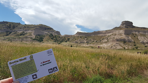
Current Status
Board Location: Wyoming
Happiness: Agreeable (6)
Energy: Peppy (5)
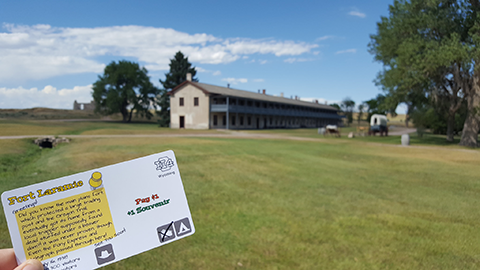
Souvenirs: 3
Money: $10
Daily Synopsis
Such a busy day! Besides the two National Monuments we even managed to sneak in some romping around a National Grasslands. We did pass up an offer to have smores with some friends we met along the way at their campground in order to spend the night in a nice lodge. I just hate to pass up opportunities to keep the family well rested. We do have to camp tomorrow. We'll see if the budget holds out!
Previous: Day 12 - On the road
Next: Day 14 - Dinosaur NM
What??? You didn’t have a map?? Obviously you weren’t well trained as a child…