


Bouncing Along Frost Heaves
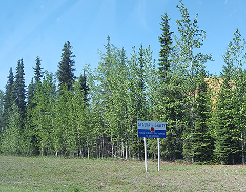
Tok to Haines Junction, Canada
June 9, 2017
Miles Driven: 299
Sunrise (Tok): 3:25am / Sunset (Haines Junction): 11:39pm
Latitude: 63.34N to 60.75N
National Parks Visited: 1 (Canada)
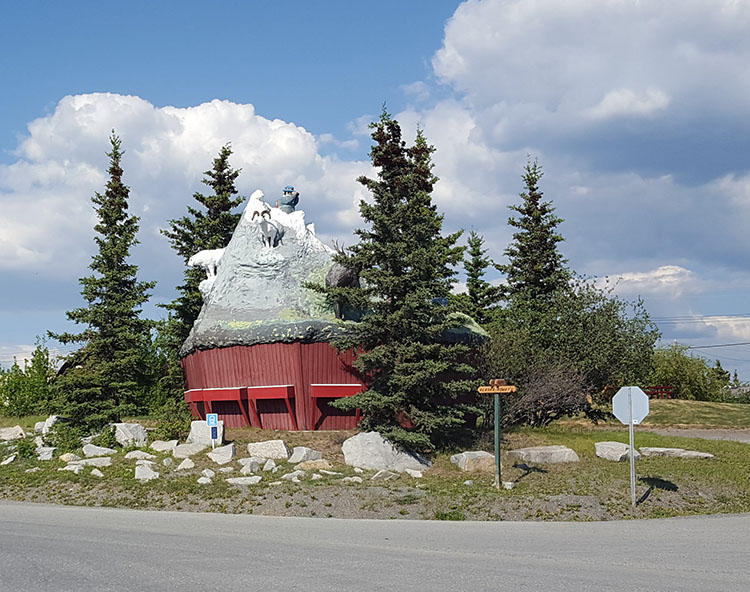
Wacky Roadside Attractions: 1
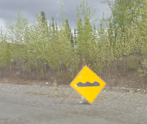
We bounced our way back to Canada. Till now I haven’t spent much time talking about the frost heaves up here. At first, despite the warnings I had diligently noted while doing my typical pre-travel planning, I thought that colorful commentary overstated. Then out of Whitehorse to Beaver Creek I noticed that those bric-a-brac signs might actually be denoting something a tad more serious than a slight roadway dip. It fact the stretch between Beaver Creek and Tok gave me a much deeper appreciation for exactly what weather alone can do to a paved road. From afar a prominent frost heave section looks like a rolling waves of asphalt. It might seem to the uninformed that the construction workers were under the influence. Actually, it’s the permafrost. Any roadway built naturally wicks up water, which then freezes and buckles the pavement. Then when it gets warm again, the water drains and the road sags. Needless to say, you are not advised to drive quickly over any portion.
Our luck held out today. Yes, the only portion of our journey so far to be cloudy and rainy, was the only portion of the trip we repeated. It was a sunny and hot. Hot for Canada and the northern parts that is, which means 82F or so. The heat coming off the pavement annoyingly disguised those frost heaves a bit. It is also worth noting here that there is an odd no-man’s-land between the borders which is about 17 miles long. You can easily exit one country; after you drive a while, you finally come to the boarder entry point of the other. According to the Alaska Highway agreement, it belongs to Canada, but they sort of ignore it. The road in this section has had particularly bad frost heaves since it remains largely overlooked. It’s like there is a Neutral Zone between Canada and Alaska. And heaven forbid someone leave one country and forget their passport. You can quite easily get stuck, which I can only image would cause a political incident given the current tensions. Perhaps you too could be famous on Fox News?
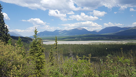
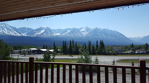
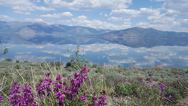
Anyway, those blue skies provided glorious views of Kluane Lake this go around. At Kluane National Park, we were also able to spot those Dall sheep up on the mountainside. I don’t have any pictures of them to share. All you would have seen were white dots. Kluane, not Denali, has the largest concentration of them anywhere in the world. Speaking of which, I gleaned a few more nuggets of information from the informational video at the Du Ka Visitors Center here in Haines Junction.
Well, that’s it for me today. It’s time to enjoy a Canadian ale, soak up some of these late night rays. And ponder the meaning behind the Haines Junction Muffin.
It's likely that I won't be able to post tomorrow night from Juneau simply because I won't have the time. Our ferry doesn't arrive until in the evening and my flight is very early. Don't worry though, I'll post my adventures as soon as I get home!
Safe Travels!
Looking forward to seeing you tomorrow and hearing about your adventures in person!!
XOXOXOX,
Mom